
Summer
SUMMER HOLIDAY IN THE ALLGÄU
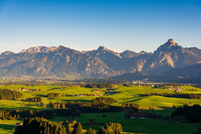
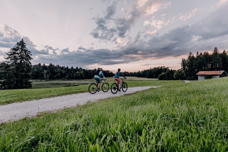
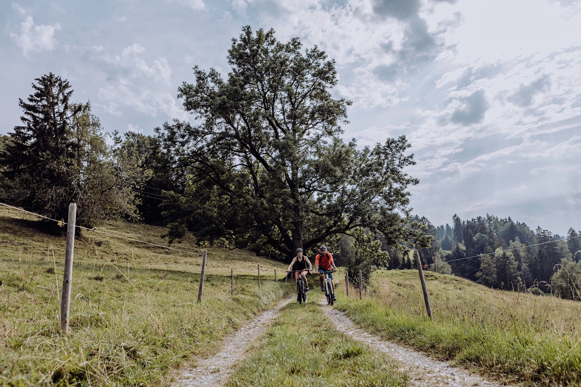
Summer is good for everyone! Keep fit with long hikes, pleasant bike tours, mountain biking, Nordic walking or swimming and enjoy the Allgäu summer in Schwangau. Every season has its special features and all activities are also wonderful to enjoy in spring and autumn.
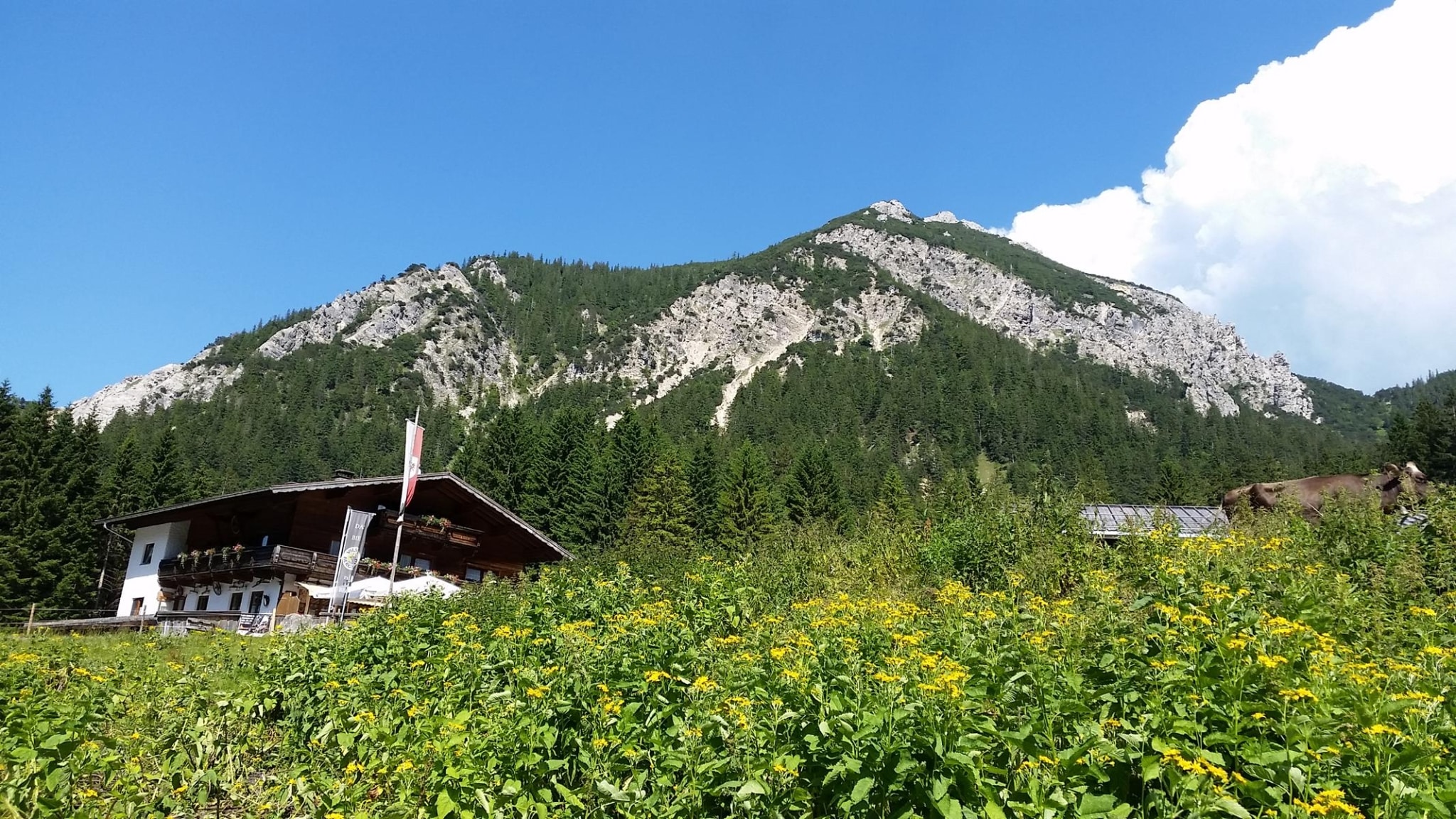
The mountain railway Tegelbergbahn is the gateway to Bavaria’s largest nature reserve, the Ammergebirge. The Tegelbergbahn offers you a wide range of possibilities. According to your wishes, you can enjoy highlights of culture, beauties of nature and the sporty leisure activities such as hang-gliding and paragliding around the Tegelberg. The Buchenberg offers wonderful hiking trails and on the Breitenberg you can experience unique panoramas.
As soon as you stay with us at the König Ludwig, you can enjoy the view from the mountains Tegelberg, Breitenberg and Buchenberg at a lower price. You can buy the tickets at the reception. The tickets are valid for both directions: up and down.
Tegelberg mountain railway € 23.00 per person
Breitenberg mountain railway with Hochalp mountain railway € 20.50 per person
Buchenberg mountain railway € 11.00 per person
.
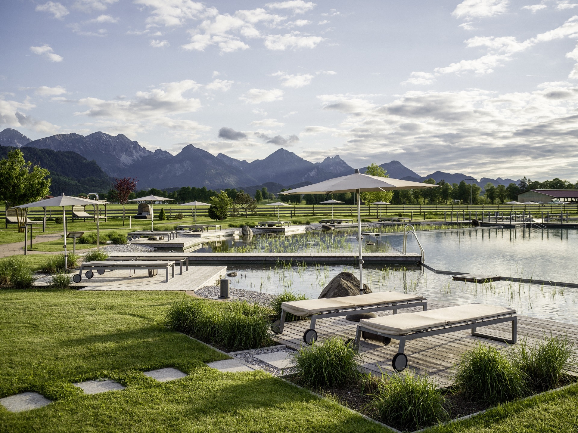
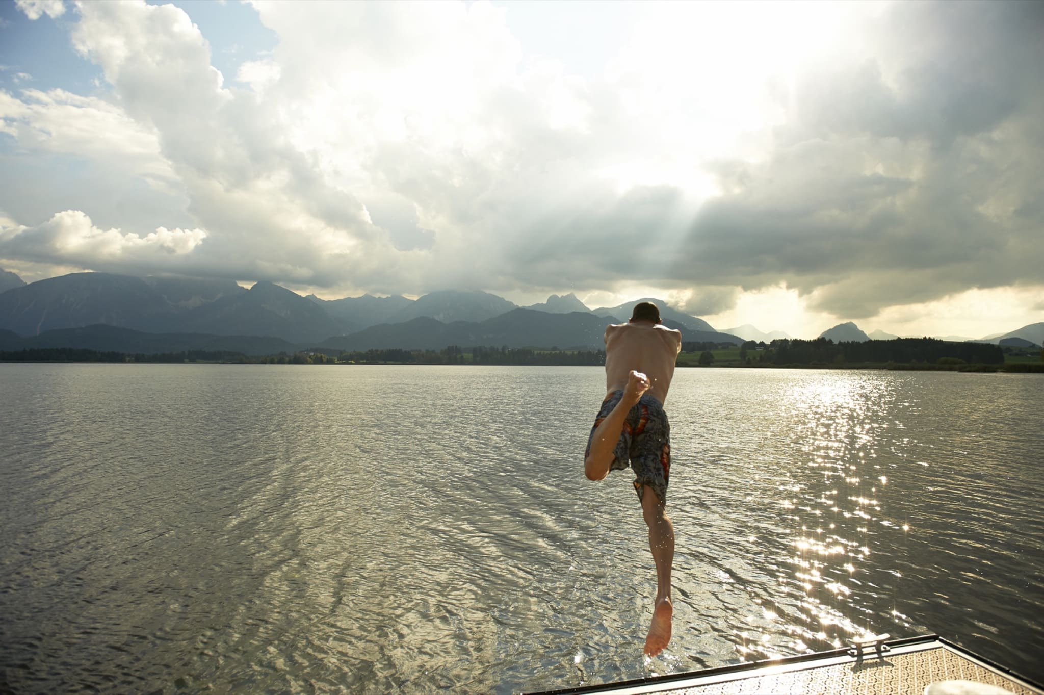
Whatever water fun you like on holiday, all you have to do is pick it. Whether you would like to sail or surf, swim or row, fish or paddle: just help yourself! And sitting quietly by the water is also a blessing for the soul with all these lakes.
Lake Forggensee – in the immediate vicinity of the hotel
This lake is a reservoir and the fifth largest lake in Bavaria. From mid-June to the end of October, it is a paradise for water sports enthusiasts. The shore is largely unobstructed and freely accessible. With the Forggensee shipping company you can discover the entire lake with all its special features in summer & autumn.
Lake Alpsee
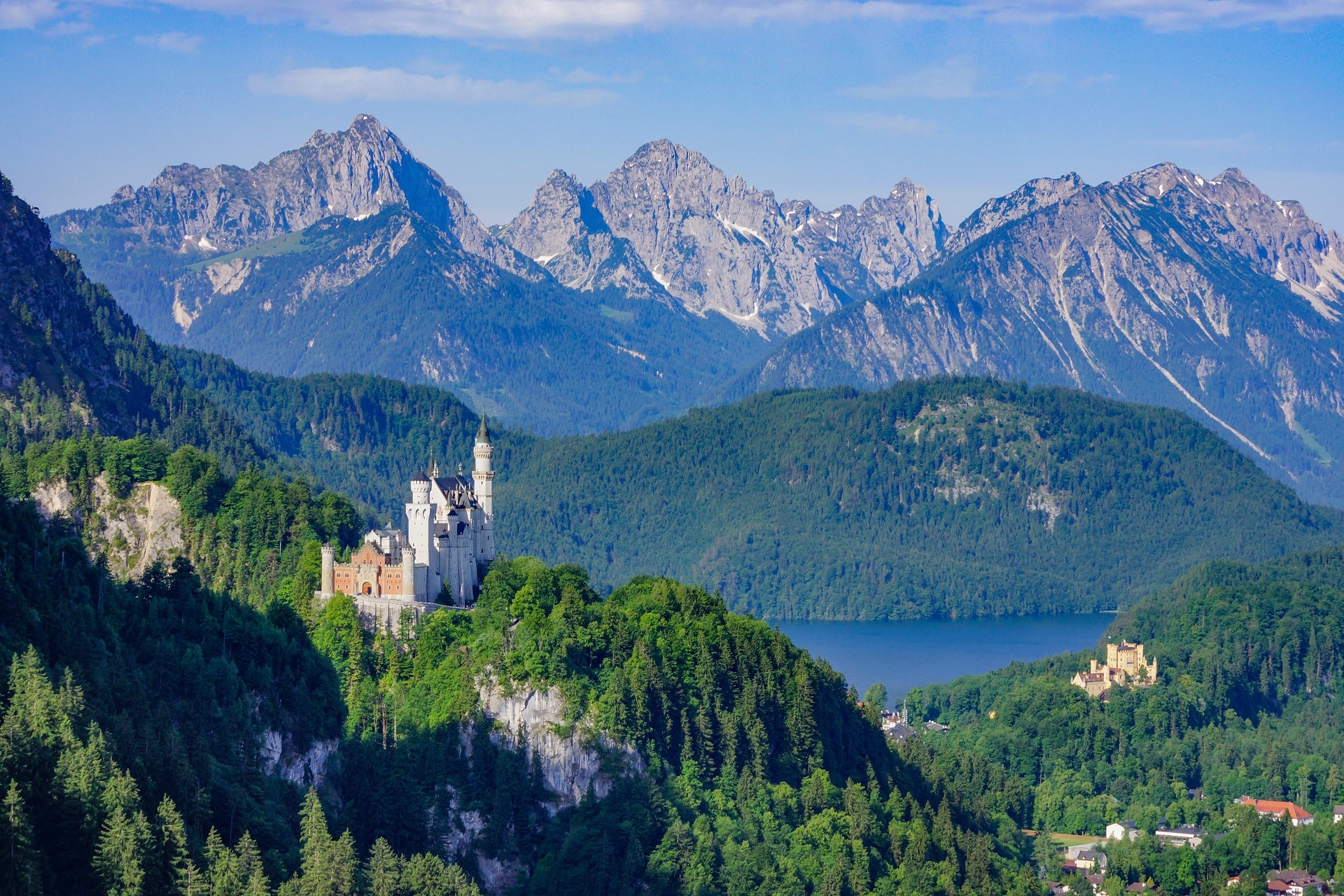
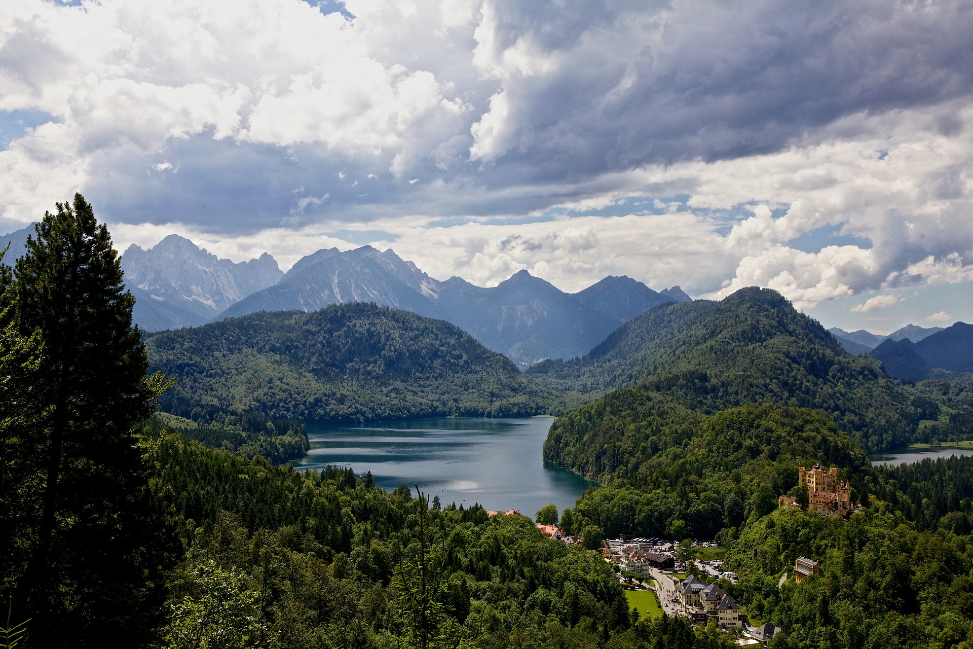
This lake was King Ludwig’s favourite lake for a swim and attracts everyone with its romance. The lake is located directly at the castles.
Lake Bannwaldsee
It is located in the 560-hectare Ammergebirge nature reserve. An idyllic path leads around the lake, where you can swim or fish. Panoramic view included!
Lake Schwansee
An ideal lake for swimming away from the road and traffic. The lake is not very deep and is known for warming up quickly. With a view of the royal castles, it simply enchants everyone.
Lake Hopfensee
This swimming lake has probably the most beautiful view in the Allgäu. It is not for nothing that the town of Hopfen, where the Hopfensee is located, is also called the Riviera of the Allgäu. The sunbathing lawn with numerous restaurants and cafés stretches along the lakeside promenade.
Lake Weißensee
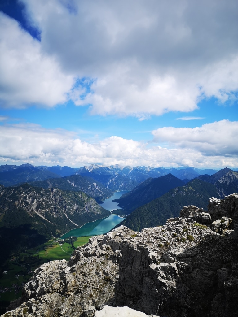
It shines deep blue with its depth of up to 25m and is romantically embedded directly at the mountains. Numerous hiking tours can be started from there.
Lake Alatsee
This lake gives the impression of being on holiday by the sea with its clear water and partly turquoise water. The mountain lake lies in a small depression and is surrounded by mountains.
Mountains are our geological heritage. The trail Geopfad Pfronten is an extended full-day tour that can also be divided into three half-day stages. The Geopfad is not intended to teach, but to inform. It gives an impression of the uniqueness and beauty of this landscape. Nature can inspire and background knowledge helps to appreciate our environment with different eyes.
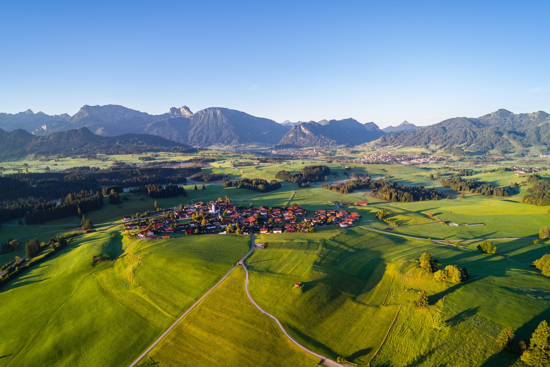
With a length of 12 kilometres and a width of 3 kilometres, Lake Forggensee surpasses all other lakes in the Allgäu region and, with an water surface of 16 km², it is the fourth largest lake in Bavaria. It was first created in the 1950s as a reservoir for the Lech River. It serves as a head reservoir for the hydroelectric power plants downstream from the Lech River and is important for flood control, especially in spring when the Lech River carries a lot of water after the snow melts. The special thing about Lake Forggensee is that it is only fully dammed in summer from June to mid-October. During this time, no one can imagine that it is not a natural lake, as it fits so perfectly into the landscape.
Our 18-hole partner golf course “Auf der Gsteig” is beautifully integrated into the Allgäu mountain and lake landscape. Essential for every golfer! You can get your green fee voucher at our reception, with it you can always golf at a more favourable rate. Please note that during the week and especially at the weekends, a tee time must be reserved. You can already inform our reception from home or at short notice on site in the hotel. We will be happy to reserve your desired tee time for you so that nothing stands in the way of a perfect day of golf.
Golfanlage Auf der Gsteig
Gsteig 1, D-86983, Lechbruck am See
Tel.: +49 (8862) 98 77 50
golf@aufdergsteig.de
As a guest, you will also receive the Allgäu Golf Pass for free from us, which means a reduction of 15 % at the following Allgäu golf courses:
Oberallgäu golf course – 18 hole
Sonnenalp golf course – 18 hole
Wiggensbach golf course – 27 hole
Hellengerst golf course – 18 hole
Lenzfried golf course – 9 hole
Ottobeuren golf course – 18 hole
Uniquely beautiful – the view when golfing in Lechbruck, but there are also other tee-off options. The Allgäu has 21 golf courses to offer! Here everyone, whether newcomer, professional or specialist, will find the right course located between fragrant meadows, hidden in small valleys or directly located at the mountains. With the Allgäu Golf Pass, the free bonus card, you get a 15% discount on 14 golf courses and can enjoy the comprehensive service. Available at our reception!
Discover this ideal form of whole-body training and practice to gain endurance, strength, mobility and coordination. In Schwangau there are several well-signed Nordic Walking routes, offering a range from easy to moderate right up to challenging. You can borrow your Nordic walking sticks from us free of charge and get tour tips!
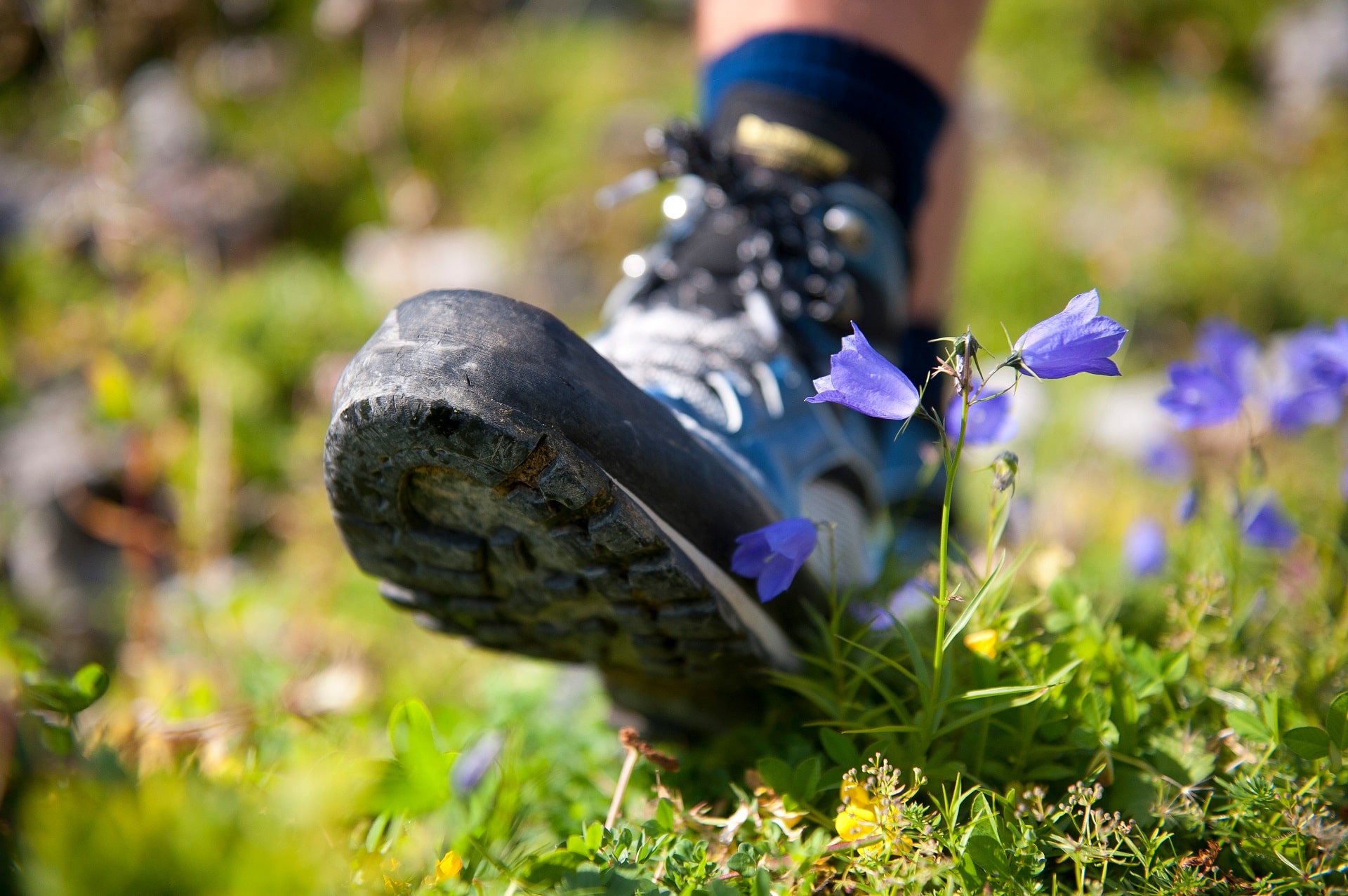
Hiking through meadows and forests? Over steep paths to mighty peaks? Or would you rather go to sparkling mountain lakes, hiking through deep valleys and impressive rock plateaus? Here in the Allgäu, it’s all possible. High, low, far, short – in any case close to nature. And also particularly important: there’s something for everyone – whether you’re a pleasure hiker or a peak climber! A special highlight: on the long-distance hiking trail of the Allgäu of the Hiking Trilogy with 876 kilometres and at least as many moments of happiness, you are on your way as a meadow walker, water runner or sky striker.
Videos